
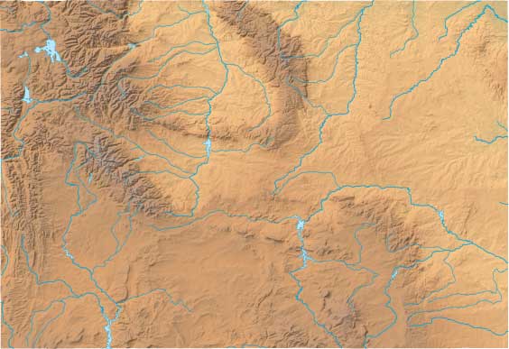
Wyoming Relief Map
Static Wyoming Relief Map
Interactive Wyoming Relief Maps
The interactive relief map choices include a standard Google terrain map and an enhanced Google terrain map with Street View capabilities. To zoom in or out on either of these Wyoming maps, click or touch its plus (+) button or its minus (-) button, respectively. To pan either map in any direction, simply swipe it or drag it in that direction. To display either of these Wyoming terrain maps, click or touch one of the following menu options.
Wyoming's highest mountain is Gannett Peak, whose peak is 13,785 feet above sea level. Other notable mountains in Wyoming include Grand Teton Mountain (13,766 feet). The largest lake in Wyoming is Yellowstone Lake. If you are planning a visit to Wyoming, please see Wyoming Tourism, the official state tourism site, where you can find a wide range of travel and vacation information. For information about Wyoming history and recreational activities, visit the following National Park sites.
Wyoming National Parks
- Bighorn Canyon National Recreation Area
- California National Historic Trail
- Devils Tower National Monument
- Fort Laramie National Historic Site
- Fossil Butte National Monument
- Grand Teton National Park
- John D Rockefeller Jr Memorial Parkway
- Mormon Pioneer National Historic Trail
- Oregon National Historic Trail
- Pony Express National Historic Trail
- Yellowstone National Park
Copyright © 2005-2024 State-Maps.org. All rights reserved.
Wyoming-Map.org is a State Maps reference source.
To facilitate browsing, certain external links will open in new windows.
Wyoming-Map.org is a State Maps reference source.
To facilitate browsing, certain external links will open in new windows.